Roddlesworth Woods
Orienteering at Roddlesworth:
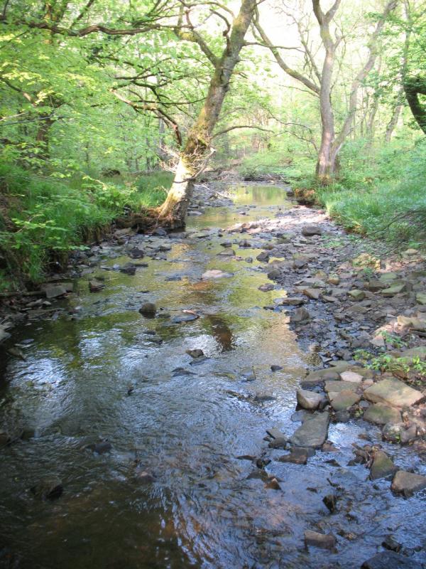
The POC has been developed in the woodland of Roddlesworth valley to give you a chance to try a non-competitive or leisure form of orienteering using your map reading skills to navigate around a course of markers or “controls”. After the rain, many parts of the woodland are wet and boggy. Suitable footwear should be worn. Take care!
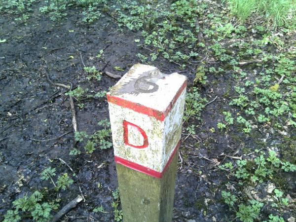
There are many controls currently available for you to find, although not all are shown on the current maps. At each control, there is a post with its identifying letter. There are 3 suggested line courses, which are graded in difficulty: Easy, Medium and Difficult. Maps are available to download.
The Map:
Before starting, study and understand your map:
- The map scale is 1:10000. Thus, 1cm on the map is equivalent to 100m on the ground. The contour interval is 5m.
- Interpretation: Using the “Key to map symbols”, determine the meaning of each symbol.
- Orientation: Align roads, paths or other line features on the map to the feature on the ground. Or, if you have a compass, align magnetic north (blue vertical lines) to the north needle of your compass.
- Position: Follow your progress on the map. Know where you are at all times.
- Out of bounds: Do not trespass into surrounding areas or those marked with purple cross-hatching.
- The Start & Finish positions (purple triangle / double circle on the map) are marked at the pedestrian forest access points which are opposite the information centre (Vaughn’s Café), car park and bus turn and pub.
- Control positions on the map are marked by numbered purple circles centred on the feature.
- The control list is shown at the bottom left of the map.
Control descriptions tell you what feature you are looking for e.g. Path junction, Marsh, etc
Control letters are on the top left of the red and white marker on the control posts, thus confirming that you have successfully navigated to the correct location.
Have fun!
| Roddlesworth Easy | FREE | |
| Roddlesworth Hard | FREE | |
| Roddlesworth Medium | FREE |
| Roddlesworth Easy | FREE | |
| Roddlesworth Hard | FREE | |
| Roddlesworth Medium | FREE |
Free from the PFO website: www.pfo.org.uk/info/permanent-orienteering-courses
Pendle Forest Orienteers:
The permanent orienteering course (POC) at Roddlesworth was first set up in 1984 with money from the Gerry Charnley Memorial Fund. Gerry was a founder member of Pendle Forest Orienteers (PFO) and will be remembered for his enthusiasm and commitment to our sport and for introducing young people to orienteering and other outdoor activities. PFO are keen to welcome new members of any age or experience. We serve the Blackburn / Burnley / Pendle / Rossendale area of Lancashire and meet regularly for training and social events. Most members take part in competitive orienteering events both locally (organised by PFO) and in other areas (organised by other orienteering clubs). Details of local events can be found on the Pendle Forest Orienteers website and other club events on the British Orienteering website.
There are other POCs in the region: Gawthorpe Hall in Padiham, Gisburn Forest, Peel Park in Accrington, Towneley Park, Burnley, Witton Park in Blackburn, Marl Pits sports centre in Rawtenstall or Wycoller Country Park.
For information, e-mail: poc@pfo.org.uk


