Abbey Park - St. Margaret's Pastures
Traditional & Smartphone Virtual orienteering courses
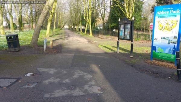
Abbey Park is managed by the Leicester City Council more details on the park can be found here. For some large events, the park gates are sealed. The area is flat and split in two by the River Soar, which forms a lake at its widest point, a canal is the south-eastern edge of the Park.
The Peppercorn Cafe is in the centre of the park.
Safety Advice & Beginners: Groups with beginners may wish to practice in the Centre of the park using the Star Loop pack. Download the guide and if you want the maps referred to then download these too. Details can be found under "Abbey Park".
Groups: You should contact the Parks Office who will advise you about other events and may even check all the markers are in place. Jenny.Jackson@leicester.gov.uk
Map updated: Winter 2018
Courses
|
Course |
Controls Length (km) |
Suitable for |
Estimated (mins) |
|---|---|---|---|
| Abbey Car Park Start | |||
|
White |
8 /0.7 |
Beginner children probably followed by parents |
10-25 |
|
Yellow |
12 /1.4 |
A child with some experience |
15-35 |
|
Orange |
12 /2.4 |
Adult beginner confident junior |
25-50 |
| Pets Corner start | |||
|
Orange |
12 /2.3 |
Adult beginner confident junior |
25-50 |
| Start: St Margarets Pasture | |||
|
Yellow |
11 /1.6 |
A child with some experience |
15-35 |
|
Orange |
15 /2.7 |
Adult beginner confident junior |
25-50 |
|
Score |
20 |
Adult or children Some controls are too hard for beginners |
30 |
Lengths of courses shown are in straight lines between controls, and the estimate of times are for someone running to someone walking. Both will vary depending on your route choice and ability.
For a legend go to Sprint Legend
Smartphone Virtual Orienteering is only available from the Abbey Park Road location.
Feedback
Control markers do get damaged or go missing. Do let us know about any damaged or missing control points, please use our Feedback Form. However our volunteers we may not be able to remedy this quickly.
| Check Letters | FREE | |
| Orange | FREE | |
| Score | FREE | |
| Yellow | FREE |
| Check Letters | FREE | |
| Orange | FREE | |
| Score | FREE | |
| Yellow | FREE |

