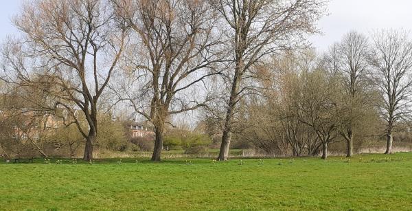
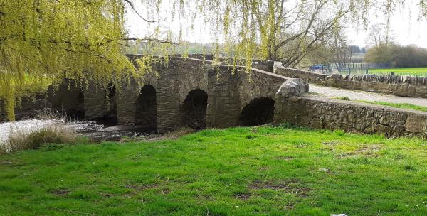
Anstey
Currently suspended, if you would like to use any of these courses email Feedback form and we will aim to reactivate the courses in a few days.
Use the Maprun app. Maprun app Garmin watch owners may wish to use the sister app MaprunG, or for Apple watches MaprunA, you will need a printed course map. We suggest you download a map from here but you can just use the one on your smartphone.
| Courses |
Length (km) /Controls |
Expected time (mins) |
Suitable for | Hazards |
| Short |
2.2 /11 |
20-40 | Beginner | Traffic |
| Medium |
3.9 /14 |
30-60 |
Some experience |
Traffic |
| Long |
5.5 /17 |
45-75 |
Some experience |
Traffic |
To access the maprun map scan the QR code. OR go to the UK/Leicestershire/Anstey folder to find the courses. Click the one you want.
If you want a map legend /guide download Guide to map symbols
Results: Results Enter a time period, Country = UK and County = Leicestershire
Feedback: Control markers do get damaged or go missing. Do let us know about any damaged or missing control points, please use our Feedback Form However our volunteers may not be able to remedy this quickly.
| Maprun Long | FREE | |
| Maprun Medium | FREE | |
| Maprun Short | FREE |
| Maprun Long | FREE | |
| Maprun Medium | FREE | |
| Maprun Short | FREE |


