Bonaly
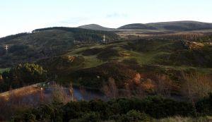
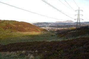
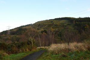
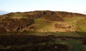
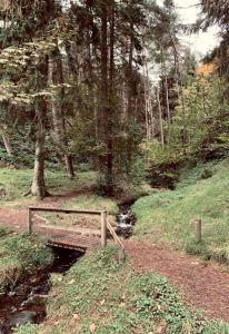
Bonaly Country Park is owned by the City of Edinburgh Council and managed as part of the Pentland Hills Regional Park. This map covers a small, hilly area offering some complex woodland and open moorland with many rock features, on the northern edge of the Pentlands. A major track bisects the area, and there are other well-established paths as well as some recent mountain bike tracks
Parking: Upper car park is up a narrow road beyond the Scout Centre; or park on Torduff Road just beyond the bridge over the city by-pass. Grid Ref: NT211674 What3words: tribal.fantastic.digs
Terrain
On the Pentland Hills; open hillside with some areas of wood; steep in parts.
Courses - see free Control Description download for details
|
Course |
Controls |
Length (km) |
Climb (m) |
Course description |
Safety issues |
|
1 |
8 |
1.2 |
65 |
A simple course for beginners or families with small children |
Steep terrain and paths on all courses which can be slippery if wet or dry. The area is well used by the public, including dog walkers and mountain bikers |
|
2 |
7 |
1.2 |
80 |
Similar to Course 1 |
|
|
3 |
14 |
2.2 |
160 |
Needs careful map-reading and distance judgment to locate controls that are not on paths |
|
|
4 |
13 |
2.5 |
210 |
This course has been planned to present a demanding physical and navigational challenge for more experienced orienteers. |
| All Controls Description | FREE | |
| All Controls Map | FREE |
| All Controls Description | FREE | |
| All Controls Map | FREE |
Maps packs (paper or digital) can be obtained by emailing ESOC. Donations will be welcome via online banking (details on request)
Walking in the Pentland Hills.

