Brocks Hill Country Park
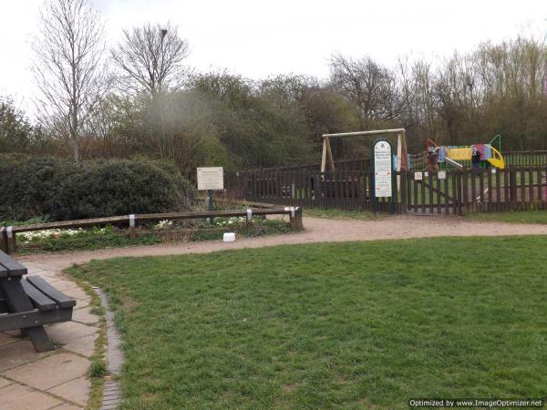
Groups: If you bring a group of Beginners, download the "Youth Leader guide..." this will tell you about the practice area just south of the play equipment. You should then download the Star /Loop Maps. You may wish to trim and laminate them. One set of maps is sufficient for 10 children. The youth leader risk assessment should also be used as a guide.
Map: April 2023 Maprun Map: November 2021
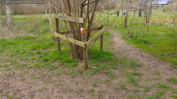
Summer usage: quite a few of the posts are in the grass/ undergrowth, so it might be difficult to find some. In summer 48 is very hard to find, in the nettles.
Safety: If you need advice on safety for your group look at the Youth leader guide.
Courses:
|
Course |
Controls /Length (km) |
Suitable for |
Estimated (mins) |
|---|---|---|---|
|
White |
13 /1.1 |
Beginner, probably shadowed by a parent |
10-25 |
|
Yellow |
10 /1.3 |
A child with some experience |
20-45 |
|
Orange |
14 /2.1 |
Adult beginner; confident junior |
25-45 |
|
Light Green |
15 /2.8 |
Adult or experienced junior |
25-45 |
|
Light Green Summer |
/controls hidden by undergrowth Replaced by controls visible in summer |
||
|
Score |
26 |
Adult or experienced Junior |
30 |
| Summer Score | 26 | 30 | |
| All Controls |
If you prefer to have a set of printed "All controls" maps by post you can request how many maps you want to be sent. Remember to print off the Control descriptions. |
If you have older All controls maps, note some controls are no longer in place and one has been moved 50m away!
The lengths of courses shown are in straight lines between controls, and the estimate of times is for someone running to someone walking. Both will vary depending on your route choice and ability.
Feedback: Control markers do get damaged or go missing. Please let us know about any damaged or missing control points, please use our Feedback Form However our volunteers may not be able to remedy this quickly.
Currently suspended, if you would like to use any of the courses email Feedback form and we will aim to reactive the courses in a few days.
Use the Maprun app Garmin watch owners may wish to use the sister app MaprunG, or for Apple watches MaprunA, you will need a printed course map.
Your phone (watch) beeps when you get close to the feature (a virtual control detected by your GPS signal). Upload your results to see your position on the leaderboard. We suggest you download a map from here but you can just use the one on your smartphone.
Map: 2016
Course change: The plaque for 98 has been moved to the nearest fence to the South West. The Control is still at the ditch end.
| Course |
Length (Km)/ Controls |
Expected Time (Mins) |
Suitable for | Comments | Hazards | Results |
| White |
1.1 /12 |
10-30 | Beginners | Other users | White | |
| Light Green |
2.6 /13 |
20-45 | Those with some experience | Traffic in the north | Light Green | |
| Score | 20 |
Beginners will be able to do part of it. Those with some experience |
Find as many as possible in 20 minutes, 20 points for each one found lose 10 points for every minute late. Keep away from the finish until the time limit or your run might end prematurely. |
Traffic in the north and in the car park | Score | |
| Scatter | 25 -60 | Those with some experience |
Find them all as quickly as you can. You will need to keep careful track to go to them all! Keep away from the finish until the end or your run might end prematurely. |
Traffic in the north and the car park | Scatter |
To access the maprun map, scan the QR code on the map. OR
To use the Maprun app when in the car park, start the Maprun app. If you are at the site or are close by, click 'Events near me' or at home click 'Select Event' and go to the UK/Leicestershire/Brocks Hill folder to find the courses. Click the one you want. Click ‘go to Start’ when you are ready. When you get near the start your time begins once your phone beeps.
Beginners there are a couple of features to help you navigate: Before the start, the location and track are always shown. Once you pass the start the location and track disappear ... unless you have enabled 'show track' or 'show location'. These features can be enabled in 'Options and settings' before you start. For some courses, we had added a ‘show me’ feature. Where it's available there is a button on the screen but you can only use it a few times.
Results: Results Enter a time period, Country = UK and County = Leicestershire

