Corstorphine Hill
** Please note: New courses added 17th June 2024 with map downloads
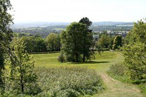
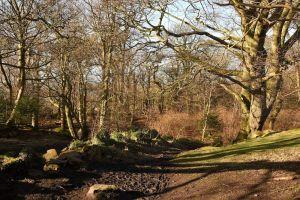
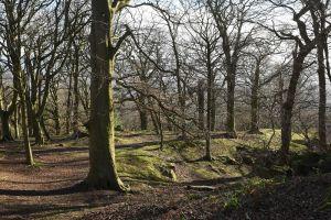
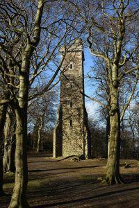
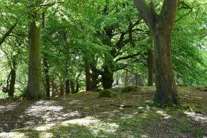
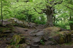
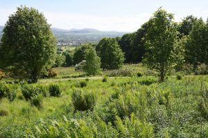
This is a long thin area in the west of the city, bordering the Zoo. It’s a Local Nature Reserve, managed by the City of Edinburgh Council https://www.edinburghoutdoors.org.uk/directory-record/26/corstorphine-hill-local-nature-reserve, and is mostly wooded, with some steep slopes to the east, and open grassy areas on the western side. There are lots of rock features throughout the area. The southern extension to the map is less rocky, a mixture of open and wooded terrain. There’s a good path network throughout.
Parking: There are 2 options depending on the course (see below)
A) On or near Clermiston Road North EH4 7BL Grid Ref NT201749 What3words: input.pencil.little
B) On Cairnmuir Road EH12 6LP Grid Ref NT205735 What3words:lows.owners.book
Terrain
Woodland with some open fields; good path network and good rock and contour detail.
NB In the summer it is possible that some of the posts may become obscured by undergrowth, but you can use the MapRun app on a smartphone which will beep. See the VOC Details panel
Safety: The area is well-used by the public, including dog walkers, mountain bikers and the occasional horse riders. Please be courteous.
Courses: As in the table below, the colours denote the difficulty both technically and physically, a descrption of each colour level can be found here. All courses except Green use Permanent posts in the ground as control sites. The Green course uses a mxture of Permanent posts and Virtual controls (see VOC details panel)
Maps: A map download link is included in the table. All map PDFs have 2 pages, the map on one side and an information sheet on the other with useful notes and a copy of the map legend.
|
Course |
Controls |
Length (km) |
Climb (m) |
Map Download link |
|
Yellow 1 (From Start B) |
7 |
2.1 |
64 |
Yellow 1 |
|
Yellow 2 (From Strat A) |
6 |
1.3 |
45 |
Yellow 2 |
|
Orange 1 (from Start B) |
10 |
2.5 |
110 |
Orange 1 |
|
Orange 2 (from Start A) |
10 |
2.6 |
125 |
Orange 2 |
|
Orange 3 (from Start A) |
10 |
2.8 |
130 |
Orange 3 |
|
Long Orange 1 (From Start B) |
13 |
3.4 |
150 |
Long Orange 1 |
|
Long Orange 2 (From Start A) |
13 |
3.5 |
155 |
Long Orange 2 |
|
Green (Start Anywhere) |
14 |
3.4 |
165 |
Green |
|
Scatter Score |
Start anywhere and make up your own course (21 controls) |
Scatter Score | ||
| Corstorphine Hill POC Control Descriptions | FREE | |
| Corstorphine Hill POC Scatter Map | FREE |
| Corstorphine Hill POC Control Descriptions | FREE | |
| Corstorphine Hill POC Scatter Map | FREE |
Maps packs (paper or digital) can be obtained by emailing ESOC. Donations will be welcome via online banking (details on request)
All the courses in the table above also act as VOCs ie are available as Maprun courses on a mobile phone, using the POC posts or virtual controls. Full instructions for accessing/using the MAPrun software can be found here www.scottish-orienteering.org/get-involved/pocs/
There is a 2-step process
1. On MaprunF or Maprun6 click on Select Event then navigate to UK->Scotland->Edinburgh->Corstorphine Hill and then select the Course you want . Click on Go to Start to see map on your phone
2. Download map as a PDF from the Scottish Orienteering website, link for each course in the table above. Print this off to carry with you.

