Haldon Forest Park (Forest England)
*IMPORTANT* Haldon Forest Park Rangers report that tree felling works which have recently taken place on the site (May -August 2025) have been completed. Therefore, all courses are now open again. However, the felling may have affected some controls; these will be checked in the near future. An updated message will be provided on this site in due course.
The felling has taken place in areas with the following controls - 31, 32, 34, 36, 37, 38, 39, 40, 47, 48, 49,51, 52, 53, 54, 66, 67, 94, 95, 96, 97, 98, 99, 100.
Haldon Forest Park Permanent Orienteering Course
The permanent course has re-opened (May 2019).
Safety Information:
- If out on your own, let someone know your plans.
- If lost, the safety bearing is East, until you reach a public road.
- In case of emergency, call 999 or 112.
- Nearest access road: Haldon Ridge Road, west off the A38 at Exeter Racecourse.
- Nearest A&E Hospital: Royal Devon and Exeter, Wonford, Exeter 01392 411611
- Address: Haldon Forest Park, Kennford, Exeter, EX6 7XR
- Grid Reference for Forestry Commission Office: SX 884849
- Haldon Rangers Telephone: 0300 067 5826
Visitor Information:
- Parking charges apply, regular visitors may purchase a Discovery Pass.
- Opening hours: See website
- Website: www.forestryengland.uk/haldon-forest-park
- Email: haldon.rangers@forestryengland.uk
Courses:
Courses are graded by technical difficulty and length from White (easiest), Yellow, Orange, Red, Super Red, Light Green, Green, Blue, to Brown (hardest). Choose an easier course, to begin with. White and Yellow maps are at a scale of 1:3000. All other courses are at a scale of 1:10,000.
For an explanation of colour coded courses see the British Orienteering Newcomers Guide.
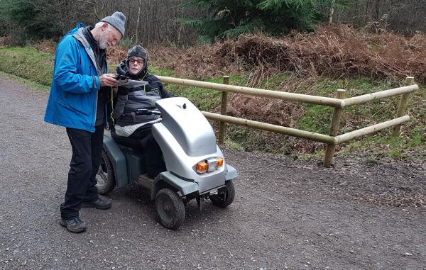
For wheelchair users, the White course is suitable; otherwise, you may use the All Controls map and plan your own route.
Top Tips for Beginners:
1. Fold your map – so that you can easily see where you are on part of the map.
2. Orientate your map - make sure that your map is the correct way round or orientated so that the features which are in front of you on the ground are in front of you on the map. You can also orientate your map using a compass.
3. Thumb your map - mark your position on the map with your thumb. As you move along the ground move your thumb to your new position on the map.
4. Understand the map key – know what the features and colours on the map mean by checking against the key.
5. Check the control description and code - once you have found a control, check that the code on your control description sheet matches the code on the control.
6. Have fun and enjoy yourself!
Cycle Track:
The main cycle track in the area is highlighted in red, with the arrow showing the direction of travel. Take care when crossing all cycle tracks and avoid standing or running along the marked cycle track.
Local Events:
The local club is Devon Orienteering Club. For information on orienteering events in the area please go to www.devonorienteering.co.uk or www.britishorienteering.org.uk
All ages, All abilities, All welcome!
Waterproof, tearproof maps may be purchased from The Rangers' Office, Haldon Forest Park, or maps may be downloaded from this site.
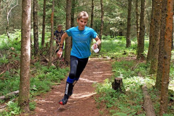
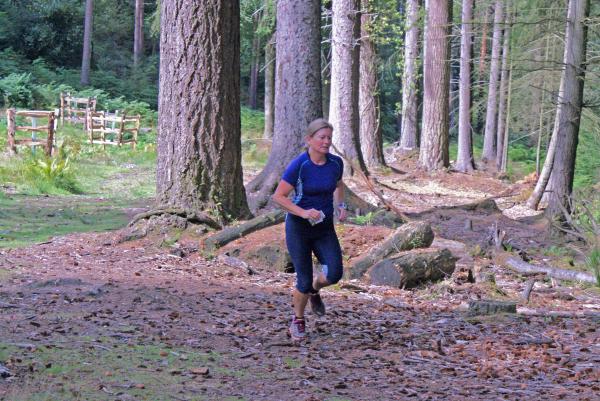
Whether you want a quiet gentle stroll or an exhilarating mountain biking experience, there’s something for you at Haldon Forest Park. 3,500 acres of woodland just fifteen minutes from Exeter.
*IMPORTANT* Haldon Forest Park Rangers report that tree felling works which have recently taken place on the site (May -August 2025) have been completed. Therefore, all courses are now open again. However, the felling may have affected some controls; these will be checked in the near future. An updated message will be provided on this site in due course.
The felling affects the following controls - 31, 32, 34, 36, 37, 38, 39, 40, 47, 48, 49,51, 52, 53, 54, 66, 67, 94, 95, 96, 97, 98, 99, 100.
The Permanent Orienteering Course at Haldon was opened in June 2019. You can now run all of the same courses using your smart phone to record -and compare -your time, your split times and your route.
All the courses have now been tested and Maprun can provide a suitably challenging additional approach to the use of this permanent course.
For details about Maprun see the link here: https://www.devonorienteering.co.uk/documents/maprun_maps/MapRun_User_Guide_V2.pdf NB. We now suggest people download Maprun F, the latest version of the Maprun app.
To select the course you want to run, open the MapRun app and tap 'Select Event' > 'UK' > 'Devon' > 'Devon POC's' and choose your course. Alternatively, if you are at Haldon, you can tap 'Events Near Me' and it will bring up the available courses.
Please note:
- As Haldon is a forested area and the GPS signal is often weak, you are strongly recommended to hold your phone high in an upper arm holder or similar mobile phone carrier. This will help to ensure there is limited delay, because of the trees, in picking up a signal at the start, finish and at each control.
- Slowing your run into the control circle may help to maintain a signal.
- Controls can register up to 10m away if the signal connection is good.
- Turn up the volume on your phone to ensure the beep is audible.
- New Go Ape features and associated fencing have been installed at the play area close to the Go Ape reception building. These are not shown on the map.
- Early experience suggests that Maprunners may most commonly find a slight delay from the ping on their phone (20-30 seconds sometimes depending on speed and direction of approach) at the following controls: 42, 56, 60, 61, 69, 71.
The courses available as a Maprun at Haldon are: White, Yellow, Orange, Light Green, Green, Red, Super Red, Blue, Brown
You can access the same information, and details about other VOCs, at https://www.devonorienteering.co.uk/category/maprun
General Safety Guidance for individual Mapruns:
- Individual Mapruns are run at your own risk
- Each runner should make their own assessment of risks in the Maprun area, including terrain and weather, and how those risks are best managed
- Be aware of risks associated with traffic, cyclists and pedestrians, and act sensibly
- Under 16’s should be accompanied or appropriately supervised, particularly where there are risks associated with traffic.
- Current social distancing guidance and other measures to limit risks associated with coronavirus should be followed.
- In more remote areas, consider the need to let someone know where you are going and alerting them when you are back.


