Hillend Park
PLEASE NOTE: THIS AREA IS CLOSED FOR THE FORESEEABLE FUTURE DUE TO REDEVELOPMENT WORK AT THE SKI CENTRE
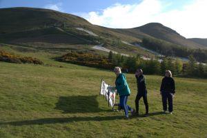
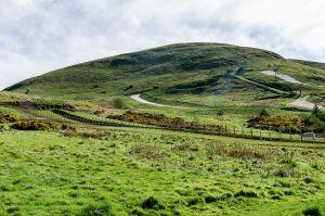
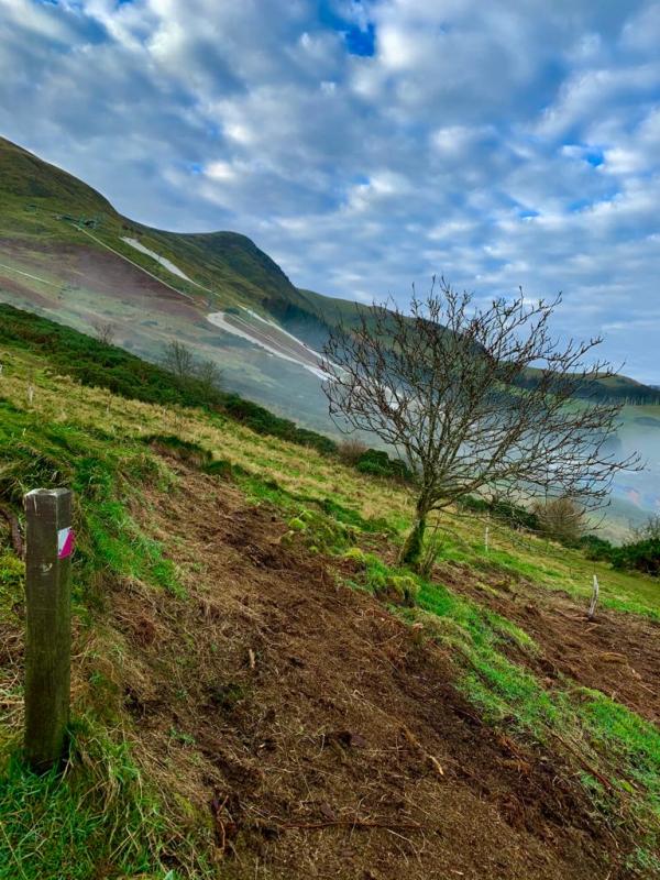
This is an area of open hillside adjacent to the Midlothian Snowsports Centre. (Skiing and other activities are also available). There is some woodland on the east side and extensive gorse patches on the lower slopes. Otherwise, the terrain is mainly rough grass, with heather higher up. There are excellent views over the city from the higher slopes, which are part of the Pentland Hills Regional Park.
Parking: Upper car park for the Snowsports Centre. EH10 7DT Grid Ref: NT244667 What3words:twig.shape.boring
Terrain
The open hillside on the Pentland Hills; steep terrain.
Courses - see free Control Description download
|
Course |
Controls |
Length (km) |
Climb (m) |
Course description |
Safety issues |
|
1 |
7 |
1.4 |
55 |
A simple course for beginners or families with small children |
All courses have steep slopes in parts. Red-hatched areas of Snowsports activity must be avoided at all times Thick summer vegetation could make some paths difficult to follow in the green-hatched areas. |
|
2 |
11 |
1.8 |
125 |
Similar to Course 1 but longer and with more height to climb. |
|
|
3 |
13 |
2.8 |
165 |
Similar to course 2 but longer and with more height to climb. |
| All Controls Description | FREE | |
| All Controls Map | FREE |
| All Controls Description | FREE | |
| All Controls Map | FREE |
Maps packs (paper or digital) can be obtained by emailing ESOC. Donations will be welcome via online banking (details on request)
.
Skiing and other activities at the Midlothian Snowsports Centre.
Walking in the Pentland Hills.
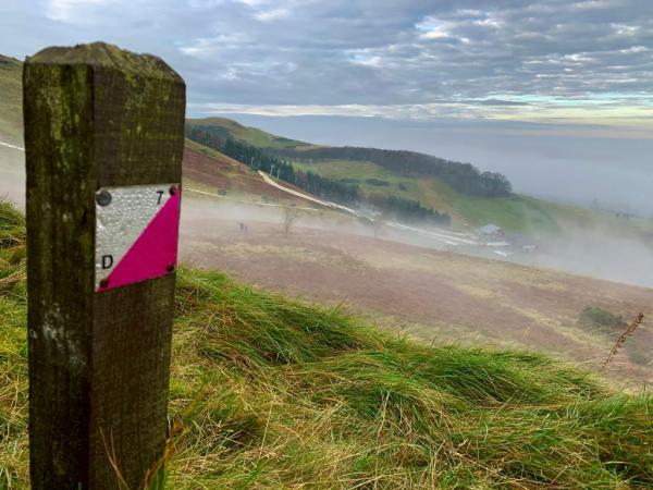
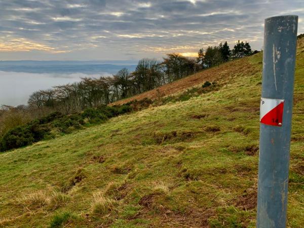
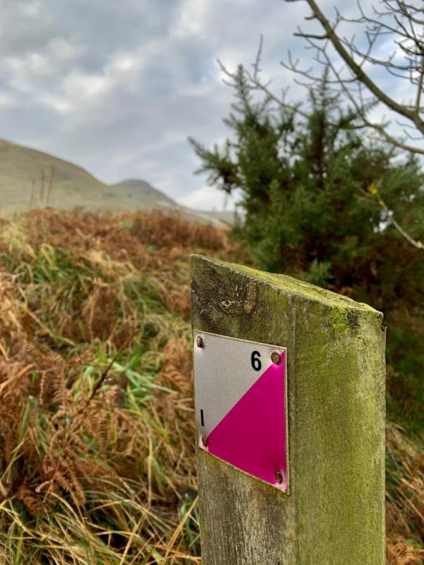
The following VOCs (using the POC posts) are available as Maprun courses on a mobile phone (see table in the main information panel for course details). Full instructions for accessing/using the MAPrun software can be found here www.scottish-orienteering.org/get-involved/pocs/
There is a 2-step process
1. On MaprunF or Maprun6 click on Select Event then navigate to UK->Scotland->Edinburgh->Hillend and then select the Course you want (See table below). Click on Go to Start to see the map on your phone
2. Download the map as a PDF from the Scottish Orienteering website, link for each course in the table below. Print this off to carry with you.
|
Course |
Maprun course names |
Download map link |
|
1 |
Hillend Yellow |
|
|
2 |
Hillend Orange |
|
|
3 |
Hillend Green |
To find out more about the colour-coded course names see this A-Z Jargon buster

