Ollerton Pit Wood
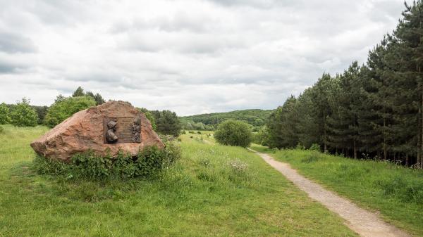
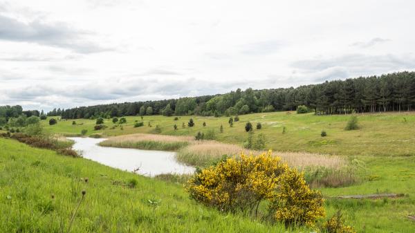
Once a former colliery site, Ollerton Pit Wood now boasts a wild strawberry walk, nesting water birds and a whole host of thriving wildlife and different plant species. Enjoy spectacular views of the surrounding area and, depending on the time of year you visit, you may see butterflies and dragonflies while flower lovers can expect to enjoy bee orchids and birds foot trefoil.
Surfaced tracks provide circular routes from the car park.
Map updated May 2024.
Have you tried smartphone orienteering yet? Courses are available at Ollerton Pit Wood, see below.
| Ollerton Pit Wood | FREE |
| Ollerton Pit Wood | FREE |
The GO Orienteering website:
Organised groups should contact Forestry England at Sherwood Pines on 0300 067 4340 prior to the visit.
Picnic area, dogs welcome
Use the MapRun app, details are found here: What is a Virtual Orienteering Course? - Go Orienteering
Start the MapRun app when in the car park, tap Events Near Me or Select Event and browse to the
UK/Nottinghamshire/Ollerton Pit Wood folder.
We suggest that you download and print the POC map above that has all the control markers, but you can just use the one on your phone.
The following MapRun courses are available based on the Ollerton Pit Wood Permanent Course:
- Ollerton Pit Wood POC Very easy
- Ollerton Pit Wood POC Easy
- Ollerton Pit Wood POC Medium
- Ollerton Pit Wood POC Long
- Ollerton Pit Wood POC All controls - This challenge is to visit all 22 controls in any order in under 90 minutes, 20 points per control.
Select the course you want, and the map will appear.
Select Go to Start when ready.
When you are close to the Start (the triangle marked on the map) the phone will beep, the Start triangle changes to green and your time will begin.
Upload your results, your position can be found under Ollerton Pit Wood on the Smartphone Orienteering page of the Nottinghamshire Orienteering Club website
Garmin watch owners may wish to use the companion app MapRunG.


