Pilrig Park
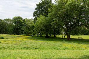
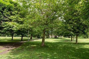
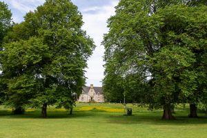
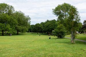
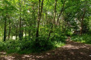
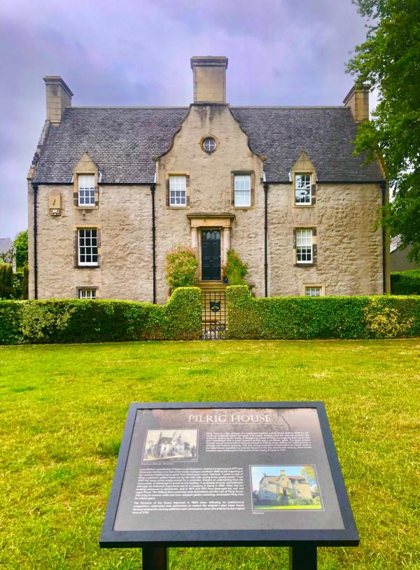
Pilrig Park is NE of Edinburgh city centre, off Pilrig Street, between Leith Walk and Bonnington Road. This city park is managed by the City of Edinburgh Council. It is mostly open, with many mature trees. Flat grass slopes up to a wooded hill in the north of the map, and there are two play areas. The park was once part of the grounds of Pilrig House, built in 1638, which still presides over the area and has historical links with Robert Louis Stevenson.
More information can be found here https://www.edinburghoutdoors.org.uk/featureDetails.php?id=104 and here http://friendsofpilrigpark.org.uk/
Parking: On local streets eg Pilrig St. Start and Finish on western side of park. Grid Ref: NT263757 What3words: voice.useful.skill
Terrain: Urban park, mostly grass with some small areas of woodland.
NB This is not a POC (Permanent Orienteering Course) area ie there are no markers or "posts on the ground”. Instead, several VOCs (Virtual Orienteering Course) are available as Maprun courses (with “virtual” control sites) using a mobile phone See the" Maps available from" panel on this page
The following VOCs are available as Maprun courses on a mobile phone, the control sites are “virtual” ie there are no markers or "posts on the ground”. Other VOCs may be added in the future.
Full instructions for accessing/using the MAPrun software can be found here www.scottish-orienteering.org/get-involved/pocs/
There is a 2-step process
1. On MaprunF or Maprun6 click on Select Event then navigate to UK->Scotland->Edinburgh-> Pilrig Park and then select the Course you want (see table below). Click on Go to Start to see map on your phone
2. Download map as a PDF from the Scottish Orienteering website, link for each course in the table below. Print this off to carry with you.
|
Maprun course names |
Length |
Download map link |
Description |
|
Pilrig Park Orange
|
1.8km |
Pleasant easy course in the park |
|
|
Pilrig Park Yellow |
1.1km
|
Pleasant easy coursein the park |
|
|
Pilrig Park White
|
0.7km |
This course has been designed for our All-Ability- Adventure project so is wheel-chair friendly. |
To find out more about the colour-coded course names see this A-Z Jargon buster

