Saughton Park
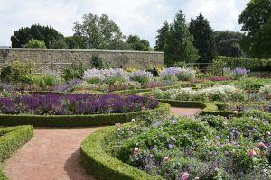
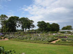
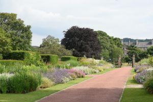
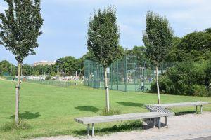
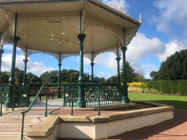
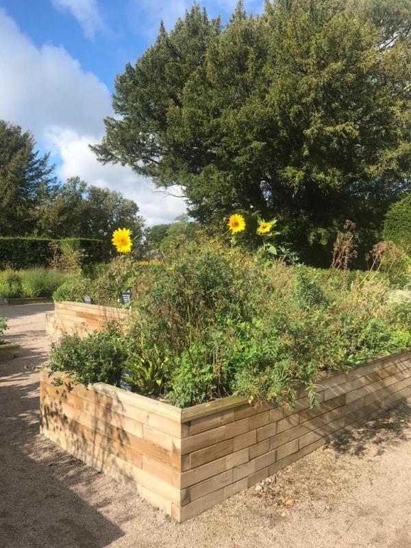
Managed by the City of Edinburgh Council, Saughton Park covers 34 acres and has recently undergone a major restoration project. The northwest of the map has a large amount of flat open space with playing fields, athletics track, skateboard park (with the biggest skateboard track in Scotland) and play area. The southeast part covers the formal gardens, which have many detailed features including a large herbaceous border, flower and heather beds, rose gardens, a sunken Italian garden, a bandstand, and many yew hedges. There are various buildings including a café, toilets and winter gardens. The Water of Leith flows along the east side of the park.
In 1908, Saughton was the site of the great Scottish National Exhibition, and the park opened to the public in 1910.
More information can be found here https://www.edinburghoutdoors.org.uk/featureDetails.php?id=123 and here https://www.friendsofsaughtonpark.org/
Terrain: Parkland and playing fields
Parking: Small car park off Fords Road at the west end of the park. Grid Ref: NT219719 What3words: rested.pint.layers. Start and Finish through courtyard and past cafe.
This area does not have a Permanent Orienteering Course ie there are no posts on the ground but yuou can use the MapRun app on a mobile phone to locate controls. See the Maps Available section.
| Saughton Park Scatter Course | FREE |
| Saughton Park Scatter Course | FREE |
This is not a POC (Permanent Orienteering Course) but the following VOCs are available as Maprun courses on a mobile phone, the control sites are “virtual” ie there are no markers or ”posts on the ground”. Other VOCs may be added in the future.
Full instructions for accessing/using the MAPrun software can be found here www.scottish-orienteering.org/get-involved/pocs/
There is a 2-step process
1. On MaprunF or Maprun6 click on Select Event then navigate to UK->Scotland->Edinburgh-> Saughton and then select the Course you want (See table below). Click on Go to Start to see map on your phone
2. Download map as a PDF from the Scottish Orienteering website, link for each course in the table below. Print this off to carry with you.
|
Maprun course names |
Length |
Download map link |
Description |
|
Saughton Long
|
4.0km |
Surprisingly technical in the Walled Garden!
|
|
|
Saughton Short |
2.4km
|
Pleasant easy course. |
|
|
Saughton Scatter
|
Make up your own course from 20 controls - as long or short as you like! |
These controls have been picked for our All-Ability- Adventure project so is wheel-chair friendly. |

