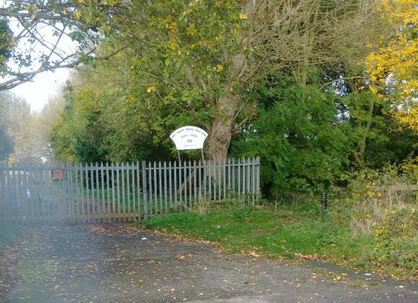
Watermead South
Use the Maprun app. Maprun app Garmin watch owners may wish to use the sister app MaprunG, or for Apple watches MaprunA, you will need a printed course map.
Your phone (watch) beeps when you get close to the feature (a virtual control detected by your GPS signal). Upload your results to see your position on the leader board.
| Course |
No. Controls/ Length (km) |
Estimated Time (mins) |
Suitable for |
| Short |
7 /1.7 |
20-45 | Beginner |
| Medium |
12 /3.5 |
30-60 | Some Experience |
| Long |
17 /6.2 |
35-780 | Some Experience |
To access the maprun map scan the QR code on the map.
You will need to enter the Pin from the map. When you get near the start your time begins once your phone beeps.
Results: Results Enter a time period, Country = UK and County = Leicestershire.
Feedback: Do let us know about any damaged or missing control points, please use our Feedback Form However our volunteers may not be able to remedy this quickly.
| Maprun Long | FREE | |
| Maprun Medium | FREE | |
| Maprun Short | FREE |
| Maprun Long | FREE | |
| Maprun Medium | FREE | |
| Maprun Short | FREE |

