Western Park
Leicester City Council manages the park. The orienteering markers are mainly vandalised but local schools may wish to use the "No controls map"
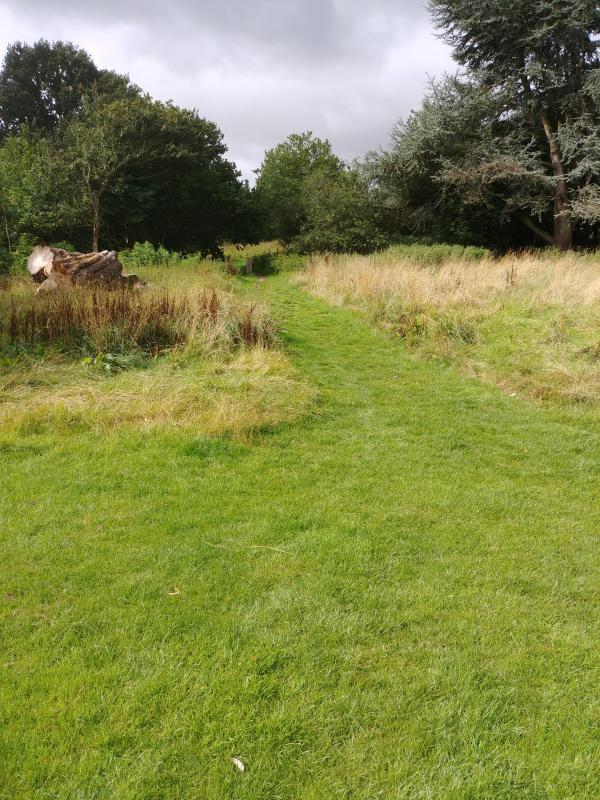
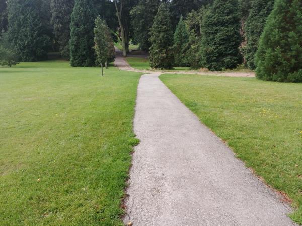
Terrain: Sloping parkland drained by a stream. Lots of large copses/ small woods. Safety: Use the safety advice sheet as a guide.
Main Hazard: Road leading to the car park and play area.
| Maprun Light Green | FREE | |
| Maprun Scatter | FREE | |
| Maprun Score 45 | FREE | |
| Maprun White | FREE | |
| MapRun Yellow | FREE | |
| No controls map | FREE | |
| Safety Risk Assessment Advice | FREE |
| Maprun Light Green | FREE | |
| Maprun Scatter | FREE | |
| Maprun Score 45 | FREE | |
| Maprun White | FREE | |
| MapRun Yellow | FREE | |
| No controls map | FREE | |
| Safety Risk Assessment Advice | FREE |
Use the Maprun app. Maprun app Garmin watch owners may wish to use the sister app MaprunG, you will need a printed course map. Your phone (watch) beeps when you get close to the feature (a virtual control detected by your GPS signal). Upload your results to see your position on the leader board. We suggest you download a map from here but you can just use the one on your smartphone.
| Course |
No. controls /Length (km) |
Suitable for |
Expected Time (mins) |
Comments | Hazards | Results |
| White |
12 /1.4 |
Beginner | 15 to 30 | White | ||
| Yellow |
14 /2.0 |
Beginner shadowed by an adult | 20 to 40 | |||
| Light Green |
17 /3.8 |
Some experience | 35 to 60 | |||
| Score |
30 /5.0 |
Some Experience | 45 |
20 points for each control Lose 10 points for each minute late Start anywhere and finish at the same control. OR at start & Finish |
A few controls in the urban area. Beware moving traffic. | Score |
| Scatter |
37 /5.9 |
Some Experience | 50-90 |
Find them all as fast as possible. Start at any control and finish at the same control. |
As for Score course. | Scatter |
To use the Maprun app when in the car park, start the Maprun app. Click 'Events near me' or click 'Select Event' and go to the UK/Leicestershire/Western Park folder to find the courses. Click the one you want. Click ‘go to Start’ when you are ready. When you get near the start your time begins once your phone beeps.
Beginners there are a couple of features to help you navigate: Before the start, the location and track are always shown. Once you pass the start the location and track disappear ... unless you have enabled 'show track' or 'show location'. These features can be enabled in 'Options and settings' before you start. For some courses, we had added a ‘show me’ feature. where it's available there is a button on the screen but you can only use it a few times.
Results: Results Enter a time period, Country = UK and County = Leicestershire.
Feedback: Do let us know about any damaged or missing control points, please use our Feedback Form However our volunteers may not be able to remedy this quickly.


